….but should weaken as it moves north into cooler waters far to our East.
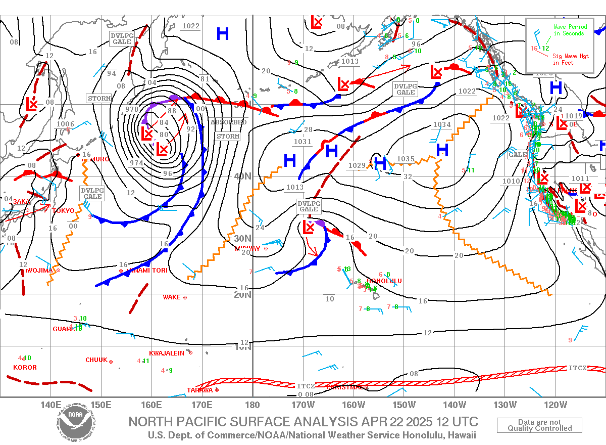
Olaf has a fetch on it’s ENE flank as it continues to generate hazardous surf for the state.
The National Weather Service posted a high surf warning for east shores of Hawaii island and Maui and issued high surf advisories for east shores in West Maui. Some of it will reach Oahu and Kauai tho’ not as high.
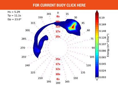
Surf up to (near 10′ local) 12 to 18′ faces is expected to hit Hawaii island’s east shores, with surf of 2-4+ (5 to 8′ faces) for the south shores of all islands.
“Expect ocean water occasionally sweeping across portions of beaches, very strong breaking waves and strong longshore and rip currents. Breaking waves may occasionally impact harbors making navigating the harbor channel dangerous,” the weather service warning said.
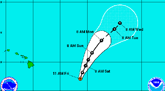
Olaf, has sustained maximum winds of 120 mph, was centered 605 miles east-southeast of Hilo and 810 miles east-southeast of Honolulu, moving north at 10 mph, at 11 a.m. Friday.
As Olaf continues north, it will pass out of the Big Island’s surf shadow and other islands will get swells from the storm.
“Surf along east-facing shores of Kauai, Oahu and Molokai will likely see an increase today and could potentially reach advisory conditions tonight or Saturday past Sunday as the swell generation zone of Olaf becomes more direct from the east. However, most of the focus of Olaf’s swell is expected over the north portions of these islands,” forecasters said.
Hurricane-force winds from Olaf extend 30 miles from the center, while tropical storm-force winds reach 160 miles from the storm’s center.
While it strengthened today, forecasters still expect it to weaken as it enters cooler waters and increasing wind shear. By Monday, Olaf will weaken to a tropical storm.
Olaf is forecast to continue on a northerly track until later friday, when it will begin moving to the northeast, away from Hawaii.
Olaf is the 15th tropical cyclone in the Central Pacific in 2015, surpassing the previous record of 11 in 1992 and 1994. It is also the 8th hurricane in the Central Pacific this season, topping the previous record of five in 1994.
Warmer-than-normal waters from El Nino conditions have helped fuel tropical cyclones in the East and Central Pacific, scientists say. With about six weeks remaining in the hurricane season, forecasters urge Hawaii residents to remain vigilant and prepared. The season could extend beyond Nov 30th.


